SpatialWorks Inspections
Digital inspection workflows for property and infrastructure assets, including photo capture, condition findings, priorities, repair recommendations and professional PDF reporting.
SpatialWorks combines GIS, engineering, inspections, operational data and reporting into practical systems that help organisations understand assets, prioritise work and manage infrastructure with clarity.
Each solution can stand on its own or connect into a broader infrastructure management environment built around GIS, asset data and operational workflows.
An umbrella platform for managing multiple infrastructure classes through one operational view. Bring together GIS, asset registers, inspections, telemetry, defects, maintenance, costs and reporting without losing the spatial context.
Digital inspection workflows for property and infrastructure assets, including photo capture, condition findings, priorities, repair recommendations and professional PDF reporting.
GIS-based road inventory and condition management with surveys, condition scoring, treatment planning, budget scenarios, prioritisation, trends and decision-ready reporting.
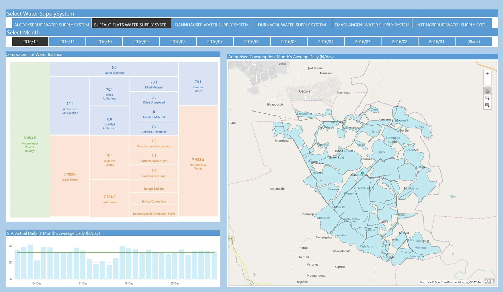
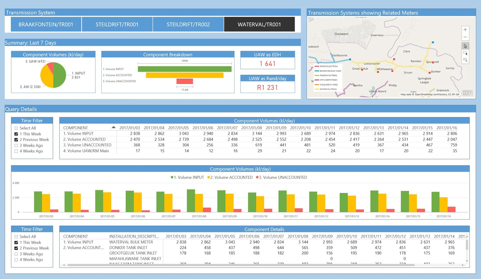
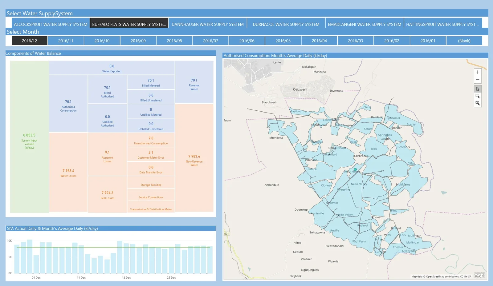
A GIS-first, smart-meter-ready platform for consumption, DMA and NRW analysis, leak and burst detection, pressure management, work orders, demand insights and savings reporting.
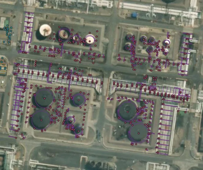
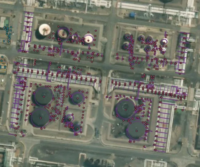
GIS-based pipeline asset intelligence that unifies network assets, inspections, integrity risks, defects, maintenance requirements, operational information and expenditure in one spatial view.
A GIS and maintenance workflow for traffic signals, controllers and related assets, supporting status visibility, faults, inspections, work orders, contractors, SLA tracking and cost history.
Different infrastructure, same discipline: capture reliable data, connect it to location, turn it into priorities and keep a defensible record of what happens next.
Field inspections, mobile forms, meters, sensors and existing systems.
Structured asset registers, history, documents and operational records.
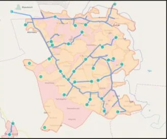
GIS network, assets, defects and events placed in spatial context.
Risk, condition, alerts, trends, priorities and budget scenarios.
Maintenance, work orders, verification, dashboards and reports.
We support the full path around the software, from asset data and field capture to engineering interpretation, integration and reporting.
Spatial data design, geodatabases, network mapping, data integration and location-based decision support.
Asset registers, condition records, defect history, prioritisation and maintenance planning across infrastructure portfolios.
Structural inspections, engineering data, technical assessment support, layout design and infrastructure planning.
Aerial imagery, surveying support, photogrammetry, contours, stockpiles and remote infrastructure data collection.
3D spatial representation, technical drawings, asset layouts and engineering visualisation for clearer communication.
APIs, SQL Server, Power BI, telemetry and operational data brought into focused dashboards and management reports.
Asset intelligence
Network mapping
Operational dashboardsOur systems are designed for organisations that need better visibility over physical assets, field activity, condition, risk and maintenance.
Tell us what you manage
SpatialWorks Consulting is a South African GIS and civil engineering consultancy focused on making infrastructure information useful. We connect spatial technology, databases, field capture, inspections and engineering workflows so clients can move from scattered data to a clear operational picture.
Our approach is practical: understand the asset, structure the information, map it, connect the workflow and produce outputs that support real maintenance and investment decisions.
Whether you need a focused solution for one asset class or a broader infrastructure management environment, send us the challenge and we can map the right approach.