
Integrity data lives in silos
Connect pipeline geometry, components, inspections, defects, documents and maintenance history instead of searching across separate repositories.
Connect pipeline integrity, operations and maintenance to location.
A GIS-based pipeline asset intelligence system that unifies network assets, inspections, integrity findings, operational events, risks, maintenance requirements, documents and expenditure in one spatial operating picture.
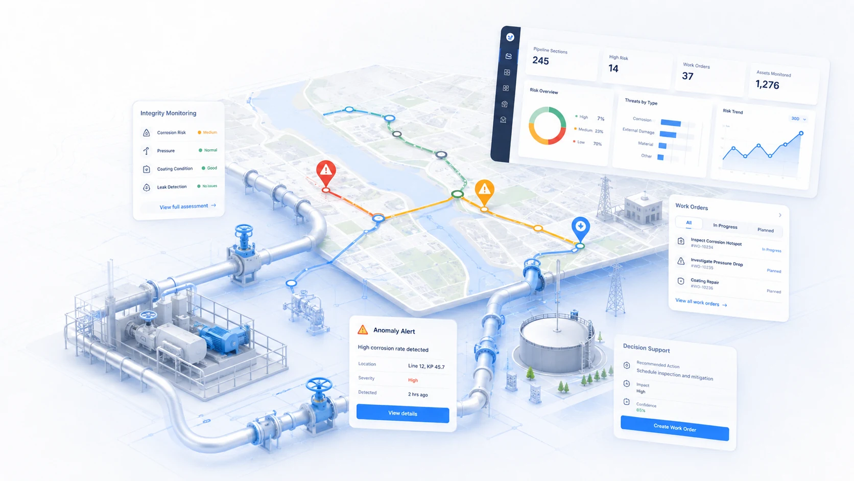
The system is designed around the decisions infrastructure teams need to make every day: what exists, where it is, what condition it is in, what requires attention and what happened next.
Connect pipeline geometry, components, inspections, defects, documents and maintenance history instead of searching across separate repositories.
Show integrity findings and operational risk along the route so teams can see clusters, critical sections and nearby context.
Turn condition and event information into planned interventions, accountable actions and management visibility.
Modules can be adapted to the organisation's asset hierarchy, terminology, inspection methods, decision rules and reporting requirements.
Maintain routes, segments, valves, stations, crossings, servitudes and related components in a spatial asset model.
Capture inspection observations, anomalies, corrosion, coating or other client-defined findings against exact pipeline assets and locations.
Track integrity findings from discovery through review, mitigation, repair and closure with evidence retained over time.
Combine condition, consequence, location, operational importance and client rules to support risk-based prioritisation.
Link incidents, alarms, outages or operational events to the affected network section and asset history.
Create planned and corrective maintenance actions with owners, due dates, status, cost and completion records.
Attach drawings, inspection reports, photographs, certificates and reference documents to the correct asset or location.
Summarise integrity backlog, risk profile, inspection status, work progress and expenditure across the pipeline network.
Every module is designed to preserve the connection between the source evidence, the asset, the decision and the resulting work.
Build the pipeline and component asset model in GIS.
Capture integrity findings and operational observations.
Evaluate condition, risk, criticality and required action.
Plan repairs, mitigation, maintenance and follow-up.
Track history, cost, documents, status and reporting.
The platform can start with a focused use case and grow over time. The architecture separates field capture, structured data, GIS, business logic, integration and reporting so each part can evolve without turning the system into a monolith.
Responsive web interfaces, field forms, dashboards and reporting.
Business rules, workflows, authentication, integrations and automation.
Structured relational data, asset history, documents and audit records.
GIS geometry, network context, mapping, spatial queries and location intelligence.
Existing enterprise systems, IoT feeds, imports, exports and BI tools.
We can configure the asset model, GIS, workflows, database, integrations, dashboards and reporting around your organisation instead of forcing your processes into a generic template.